
Front Royal/Strasburg area off 619
Length: 4.1 Miles
Elevation gain: 720 Feet
Kid Friendly: Yes! One notable steep grade. A few rocks to climb over.
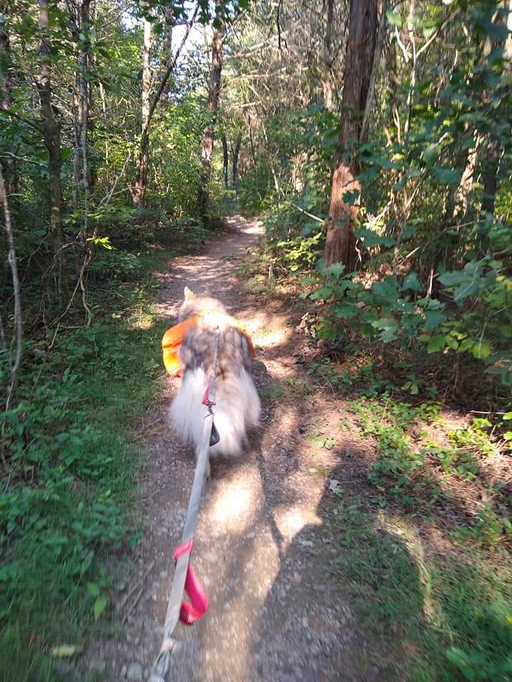
Dog Friendly: Yes, top may be challenging for older or larger dogs.
Baby-Wearing Friendly: Yes, no major obstacles.
Will my kids whine?: Probably, around 1.4 miles in, past the fish hatchery overlook. Whining may continue for a few hundred feet.
Buzzard Rock is a really simple out and back hike you can fit into your schedule practically anytime. It’s flexible in terms of length and time. You can go a little further down the trail than what I’ll list here or stop at the fish hatchery if you’re short on time.
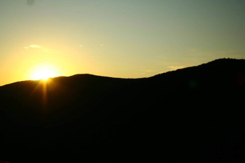
You can do it as a sunset hike (go earlier than you think you need to, the mountains will cause you to lose sight of the sun sooner) or as a quick morning hike as well. It’s great for afternoon summer storms or for mid-winter snow covered hikes (try at your own risk).


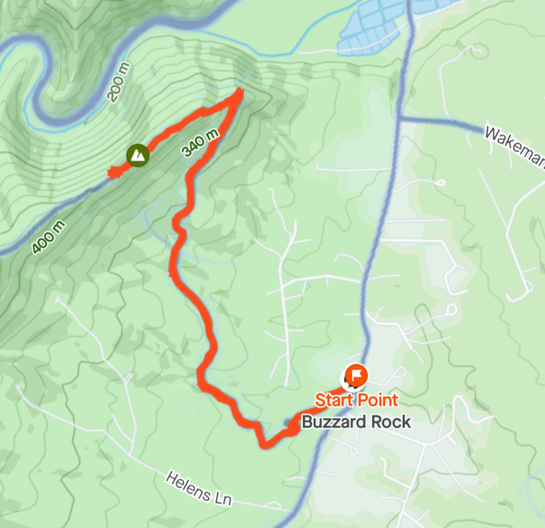
You’ll start off at a modest parking lot off Route 619. This lot does fill fast on the weekends.
Facing away from the road, the trail will be on the far left side of the parking lot.
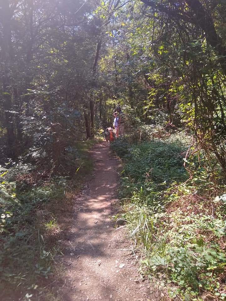
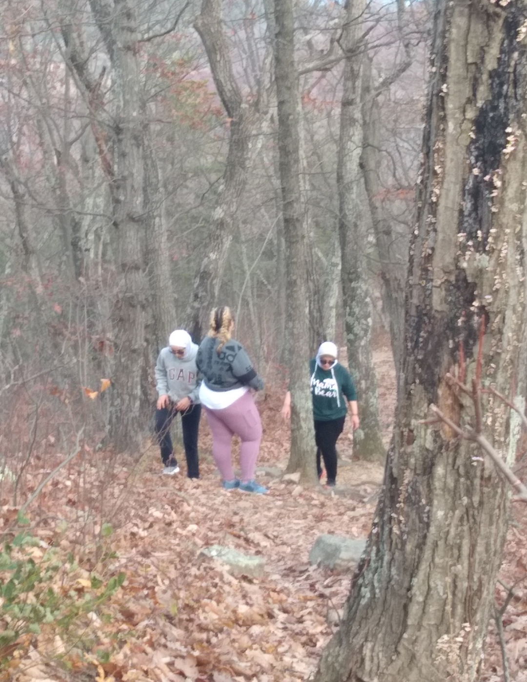
The first 100 yards you’ll walk through a dense pine forest. You’ll pass over a stream at about a half mile in. Afterwards, you’ll hit a couple of rolling hills, another stream, some stone stairs and then some steady incline. Overall, the fist 0.8 miles are easy.
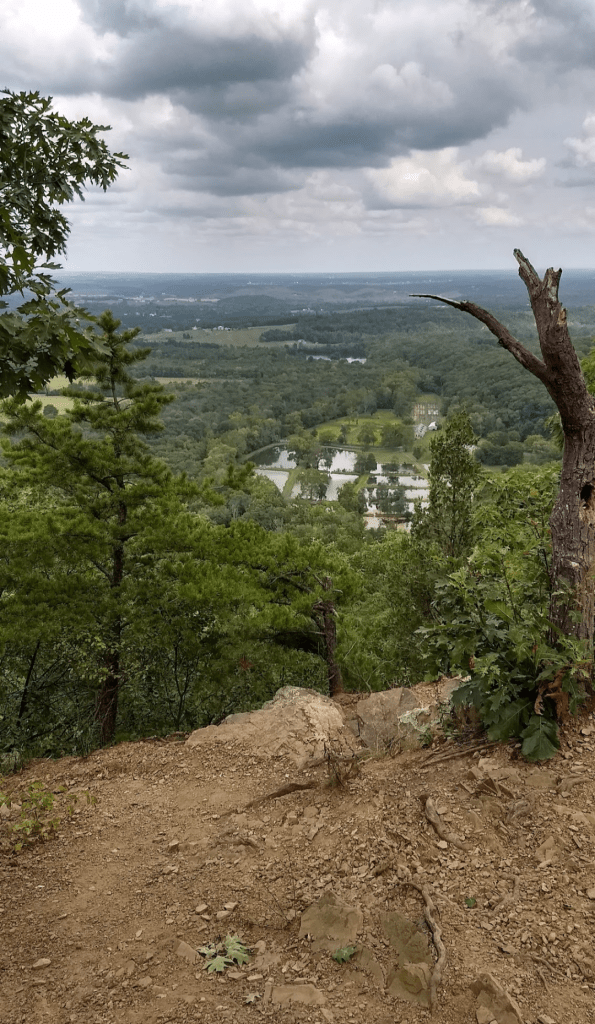
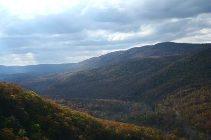
The trail does become steeper and slightly narrower as you approach the first overlook. (10-15% grade). Pause to take a look here at the State Fish Hatchery.

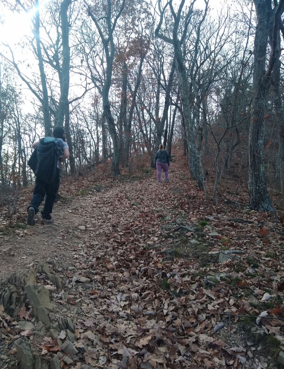
Immediately after this overlook the trail will continue south with a drastic incline change (around 25-30% grade).This is where you’re children will whine and you’ll tell them they’ll be okay, it’s all part of the family experience. Push uphill (metaphorically or literally-that’s up to you) for about 0.1-0.2 miles. There’s two very short switchbacks before you’re walking the ridgeline.
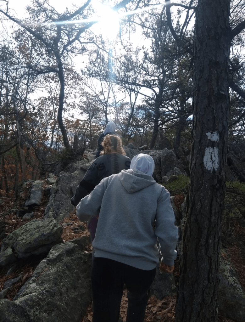
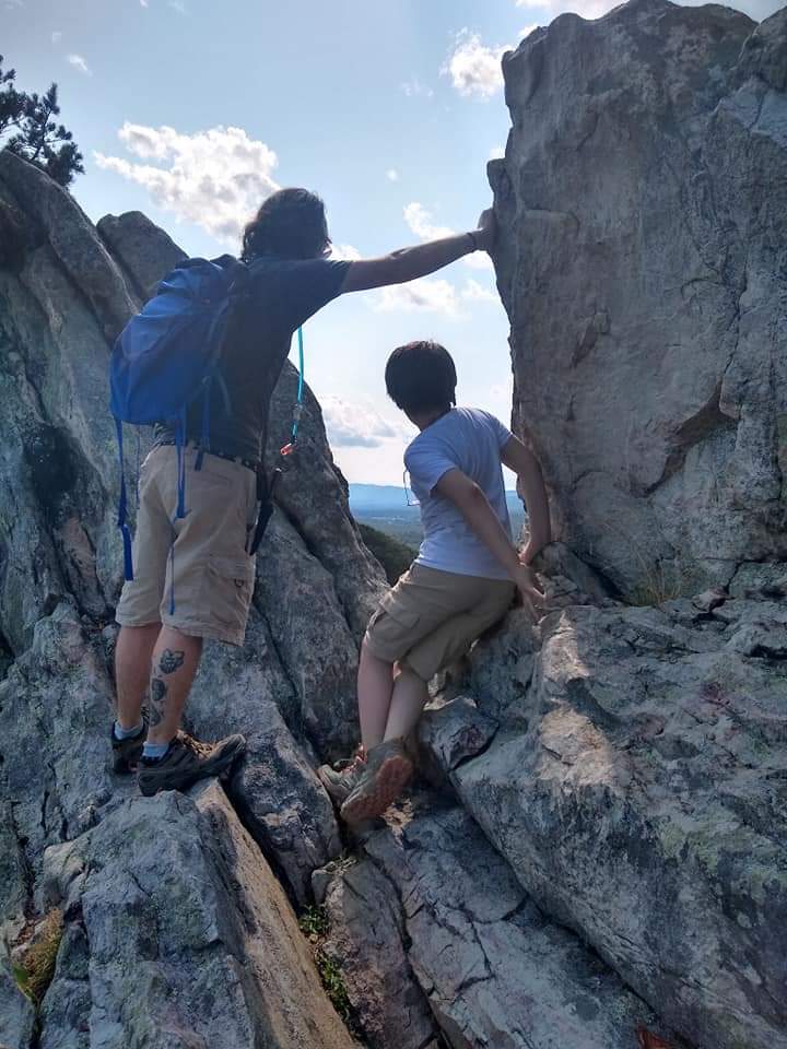
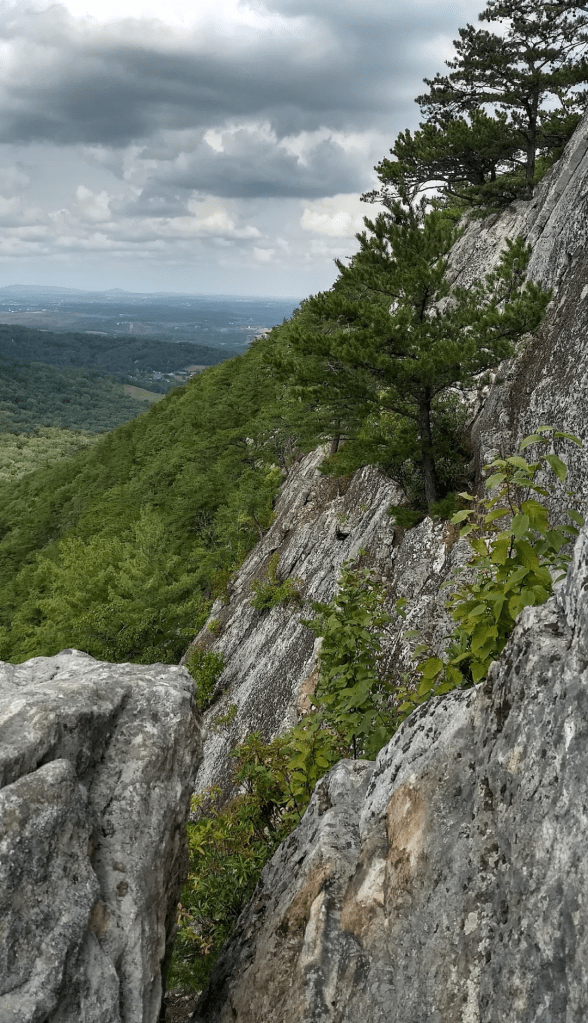
After that last climb, other than a few mildly tight rocky areas, it’s pretty simple from here on out.
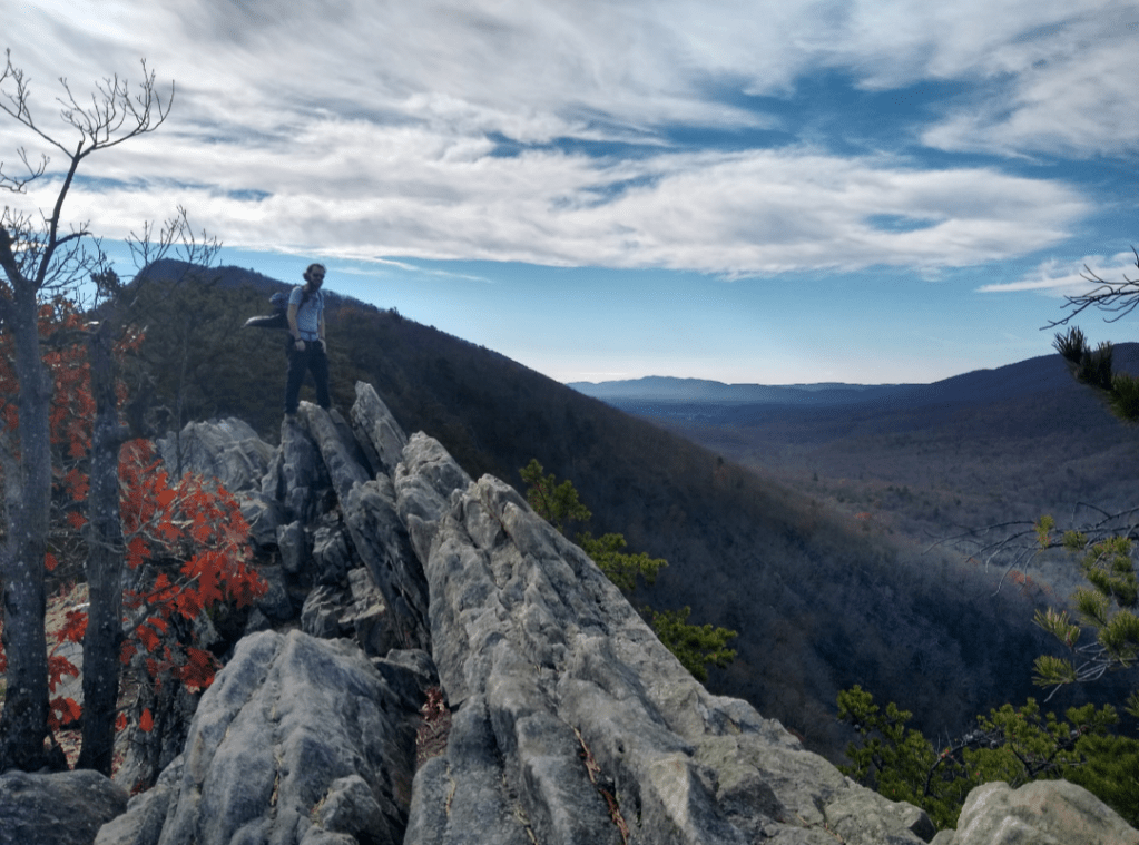
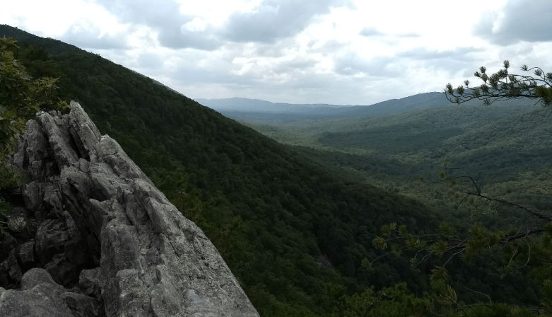
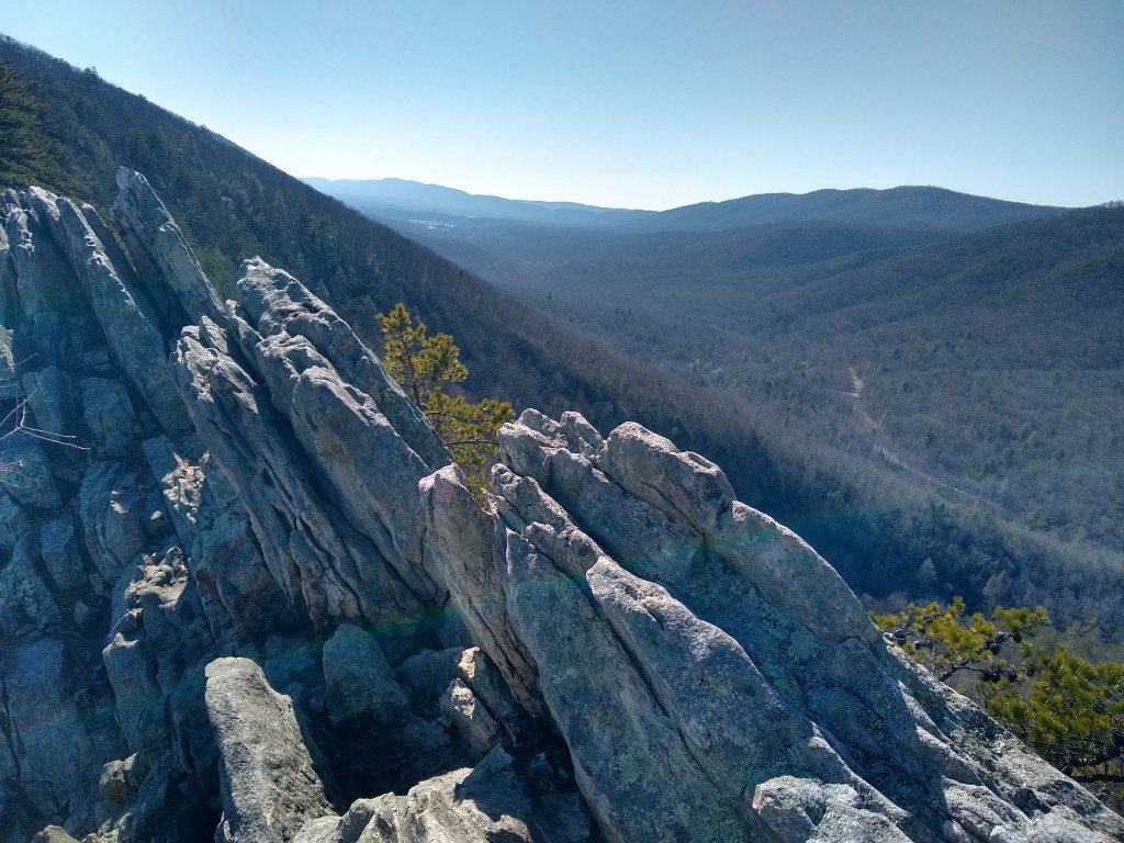
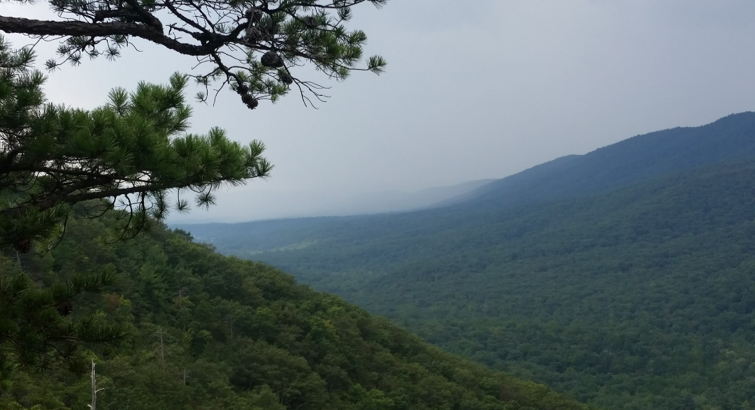
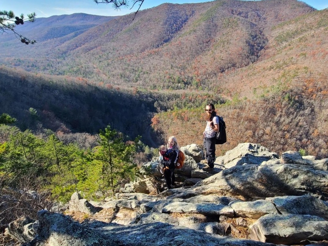
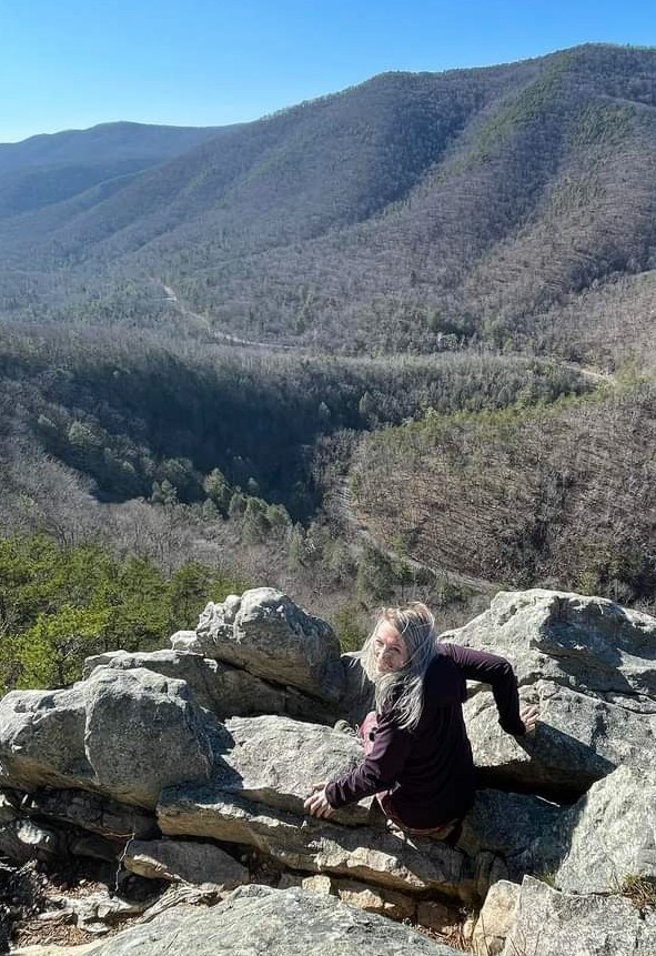
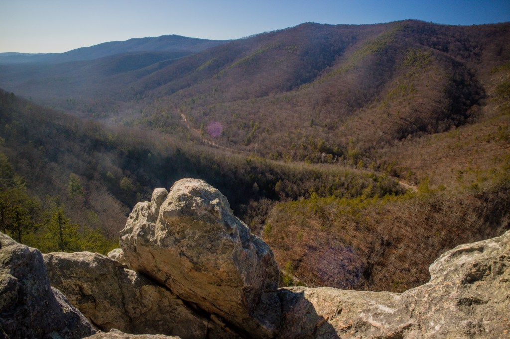
The ridge is an enchanting place. There are a few overlooks and convenient places to stop.
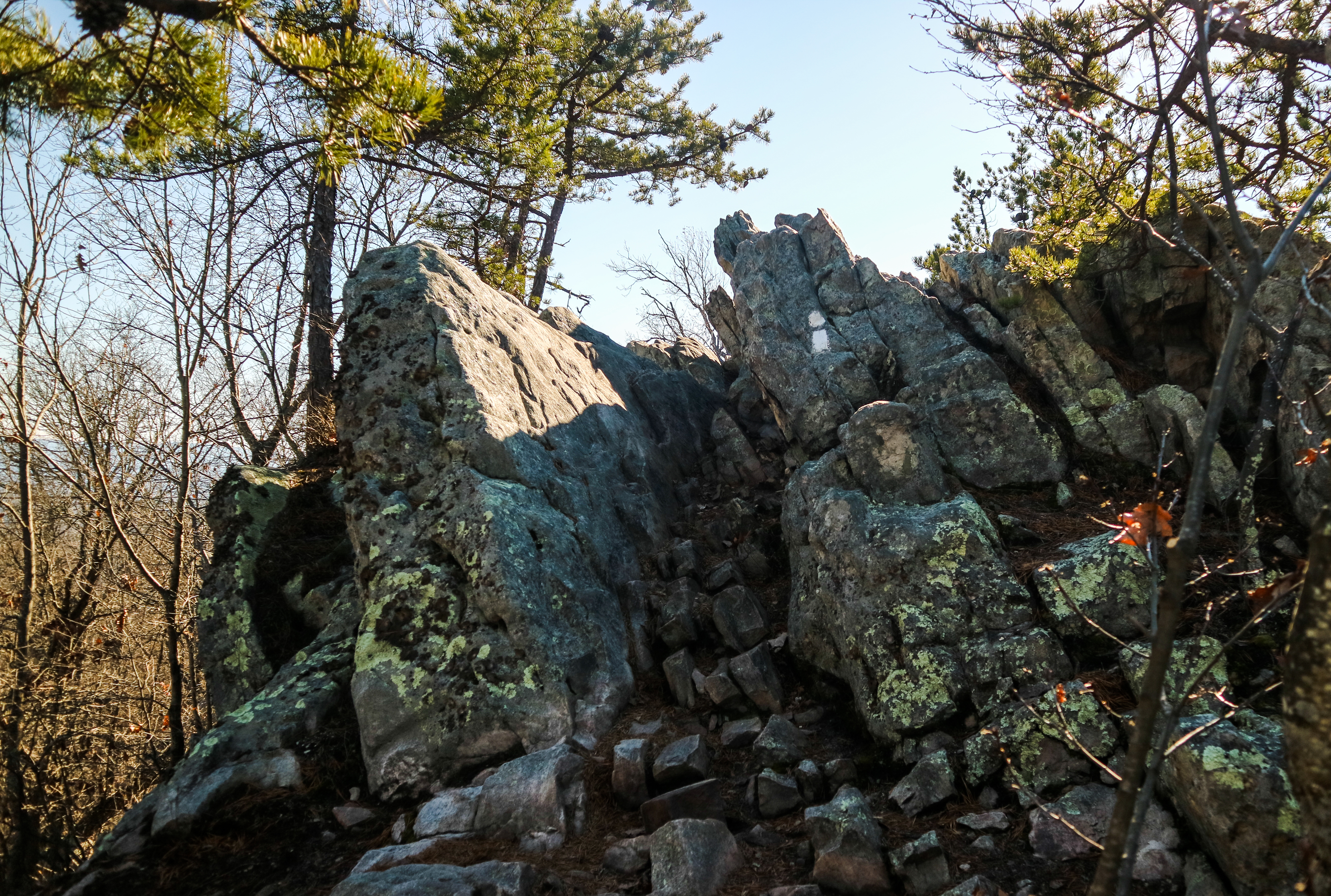
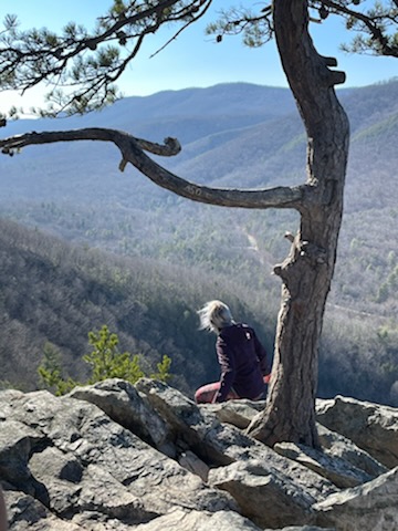
Perhaps the hardest thing about this trail is knowing where to stop. I (generally) stop about .25 miles from the start of the ridgeline (this depends on where you start counting as “reaching the ridgeline”) at the tree/overlook pictured below.
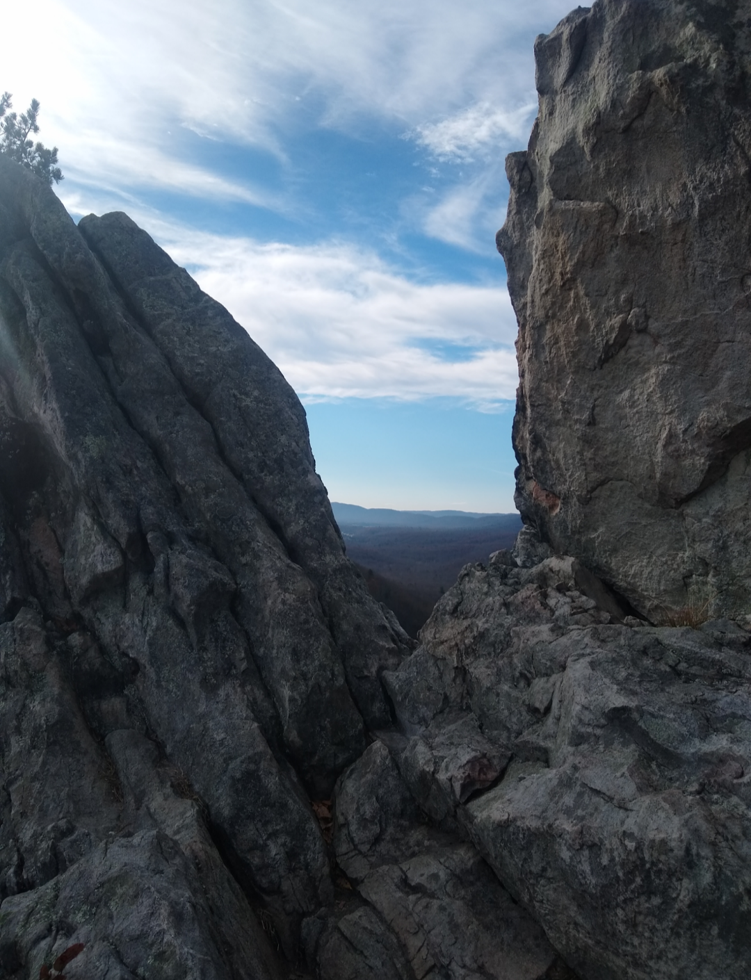
You can climb down over the first few rocks of the rock face for a better view. If you’re not intimidated by the height, you can sit in the small gap of rock towards the front of and peer over the edge into the valley below.
If you do decide to continue down the trial, you’ll eventually make it to Elizabeth Furnace. However, for the purposes of this particular page, this is where we’ll stop.
Recent Trips to this trail:
The Buzz!
We went up Buzzard Rock this weekend. Beautiful day, very windy, overall great trip. For the main article on Buzzard Rock, including directions, click here. The streams were up and there were more things to to call a “crossing” than the average day. For those of you that haven’t been up on The Buzz for…

Leave a comment