
Luray, VA/Skyline Drive/ Skyland Resort Area

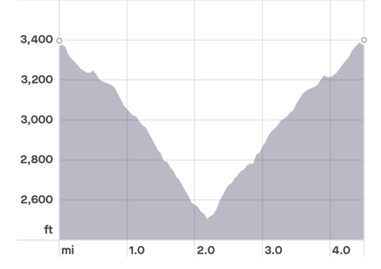
Length: 4.5 Miles
Elevation gain: 930 Feet

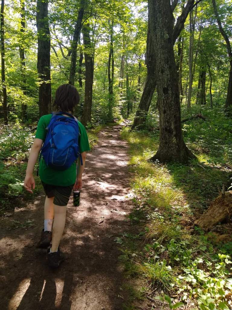
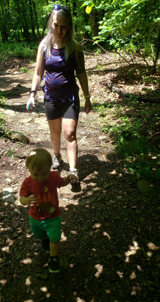
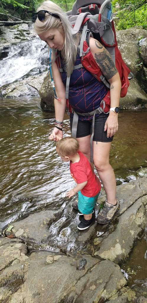
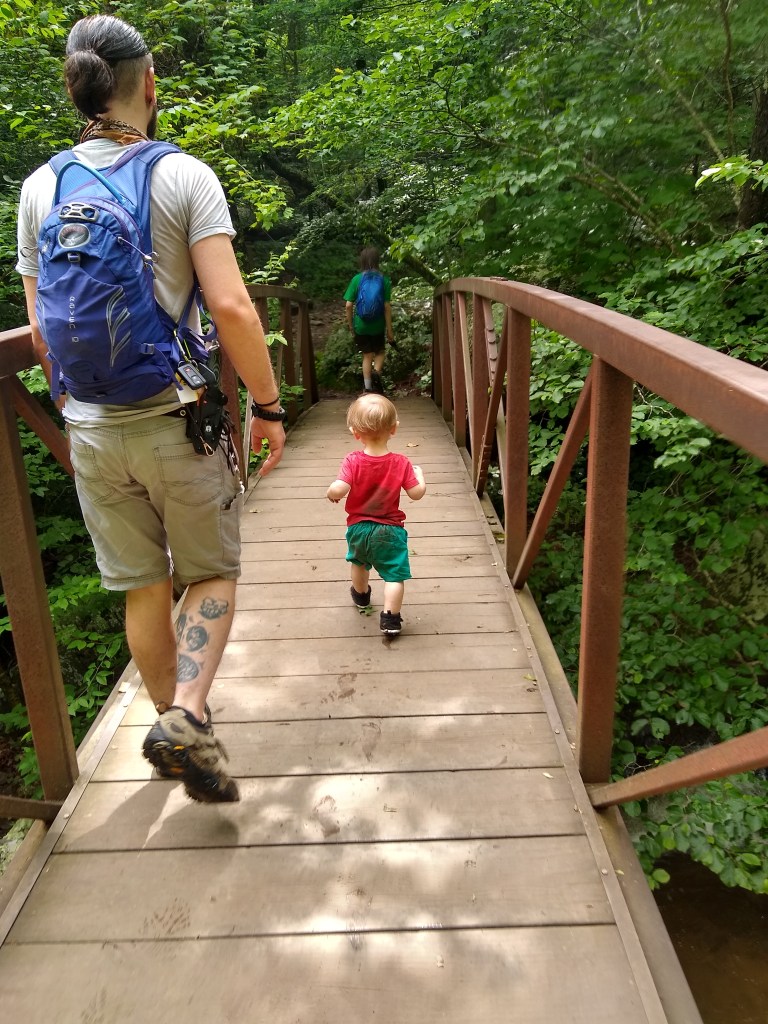
Kid Friendly: Yes! Not completely flat, some steep grades, manageable.
Dog Friendly: Yes!
Baby-Wearing Friendly: Yes, no major obstacles
Will my kids whine?: Probably on the way back up.
A tall and beautiful mountain falls, White Oak Canyon is a popular day hike that can be accessed from Skyline Drive or from the Old Rag Parking Area (Syria, VA). For this post – we will cover accessing the falls from the upper parking lot on Skyline Drive.

The easiest way to find the parking area is to head towards Skyland Resort (On Skyline Drive, Skyland RANCH is something different so be aware of that). Once you pass the entrance for Skyland (right hand side) keep your eyes peeled for a parking lot on the left (just past a horse crossing if you’re heading south).
While the trail is popular, the lot is large and I’ve never had an issue with finding a spot here. There’s a lot further down for Limberlost trail that you could technically access this trail from but I’ve never had to do that.
There’s signage indicating the various sections of trail and their lengths. The total milage for this one – upper lot to the view of the upper falls is about 4.5 miles. Total length according to my Garmin varies due to tree cover and the surrounding mountains.


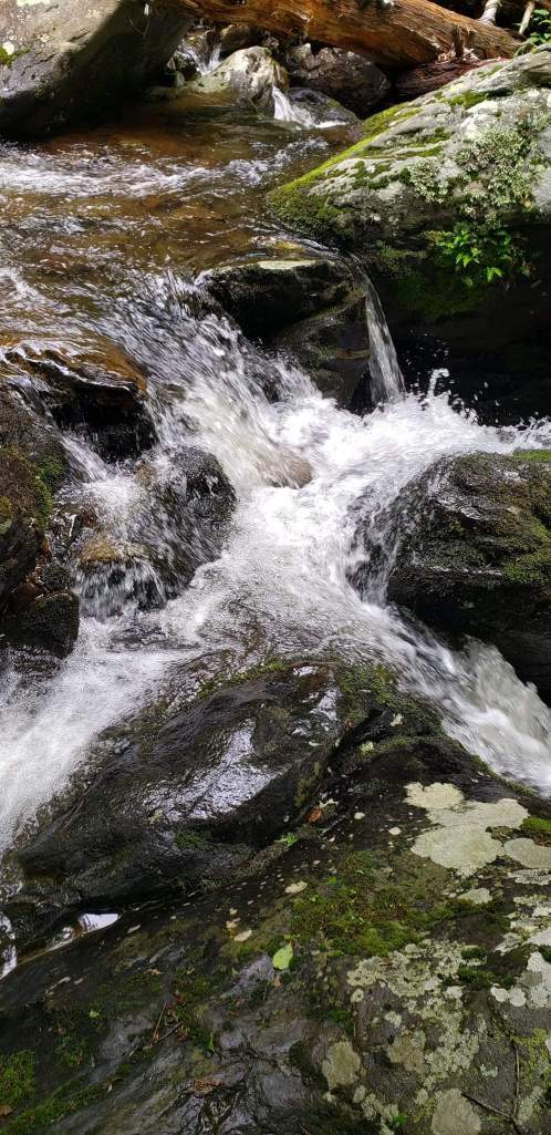
The trail has an overall grade of 7% +/- depending on if you’re returning or going down. The general lack of grade at the top makes up for some steeper stuff later but all in all, with plenty of places to stop and get your toes wet on a hot day, the trail is incredibly enjoyable.
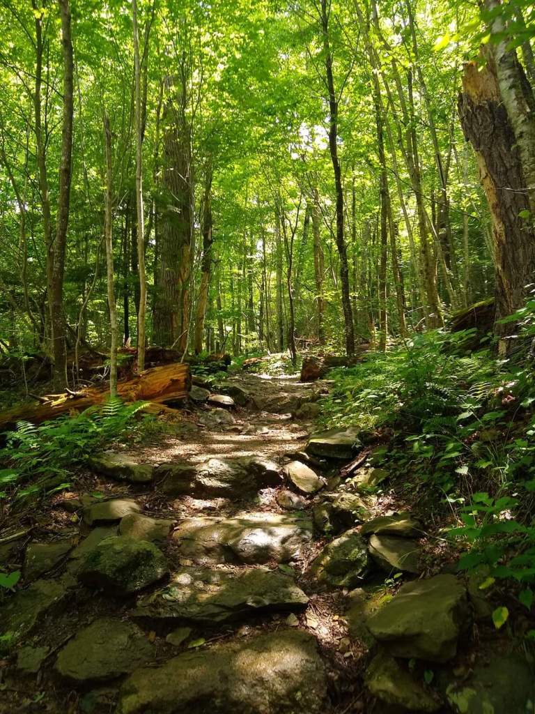

Limberlost trail runs in a loop that crosses the trail twice, and in between those crossings you’ll have a fire road crossing as well. After the last crossing of Limberlost, the trail starts to descend with a steeper grade.

About 1.25 miles, about the time the grade increases, a few small streams and then a larger river (Robinson River) appears. You’ll follow the path of this river most of the way down, with an exception of a few switchbacks).

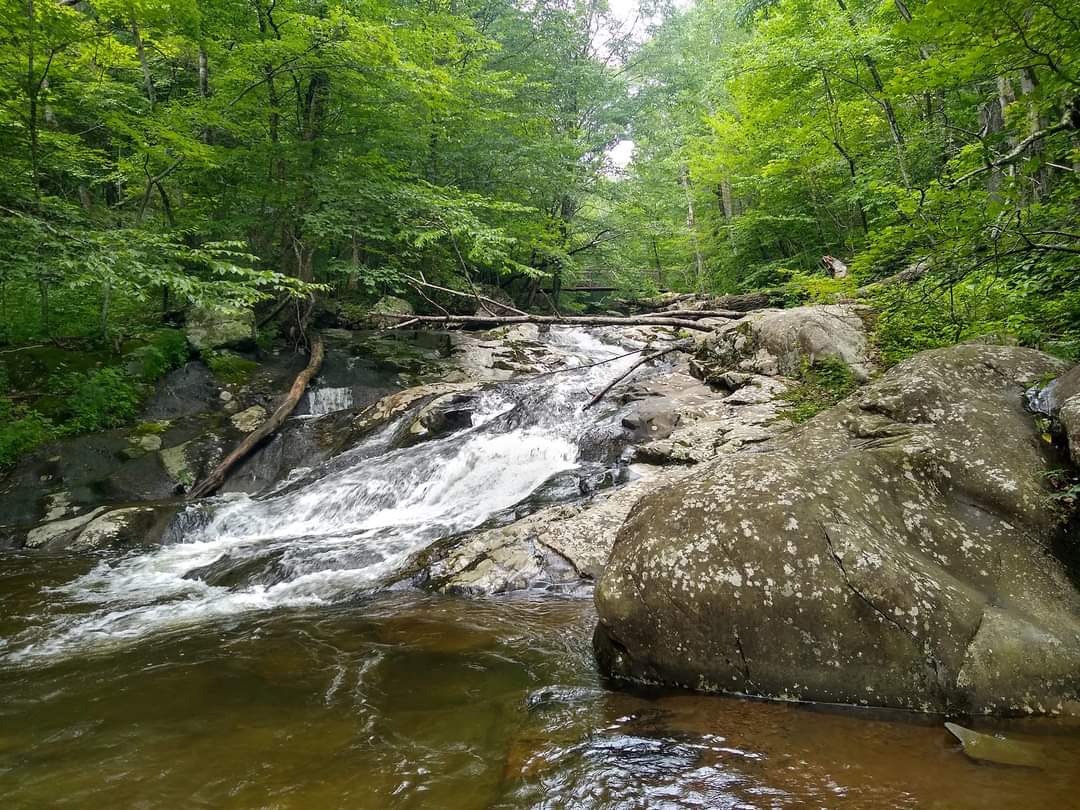
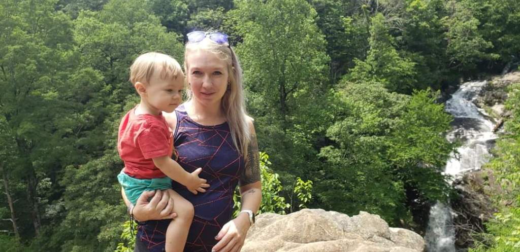
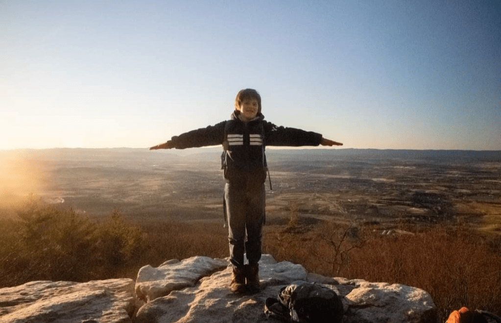
Before you get to the upper falls you’ll cross over this river via a bridge. There’s access here to continue down a saddle trail and after crossing the bridge there’s a place to tie horses on the right. Descend just a bit more and there’s a clearly labeled marker for the scenic view.
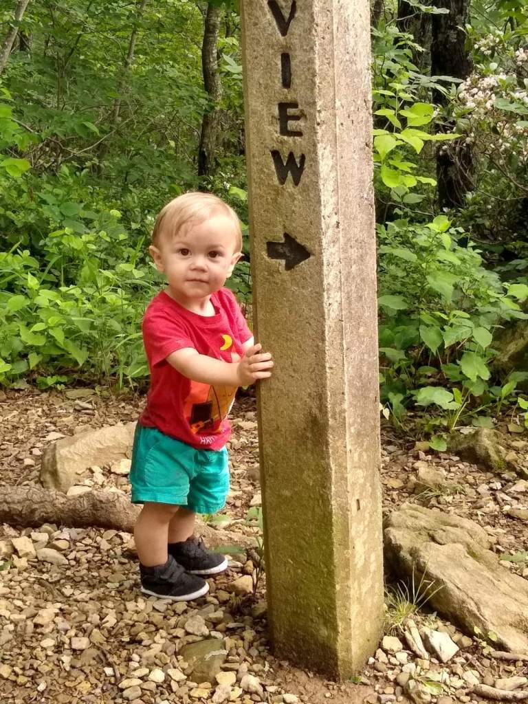
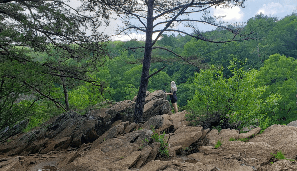
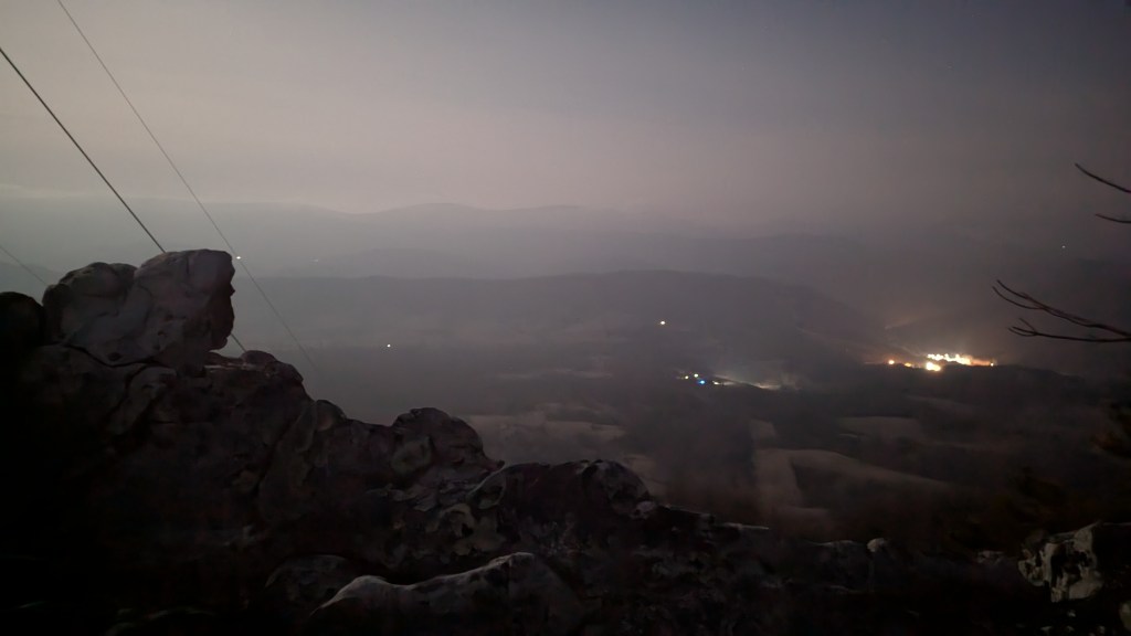
Climb out onto the rocks here and enjoy it (with caution, in 2020 someone fell to their death here climbing out too far on wet rocks.) The weather here can change in an instant, which is part of the beauty, but be mindful of that as well.


Return on the trail that you came down on, simply retracing your steps.

Leave a comment