
Luray, VA/Fort Valley Area
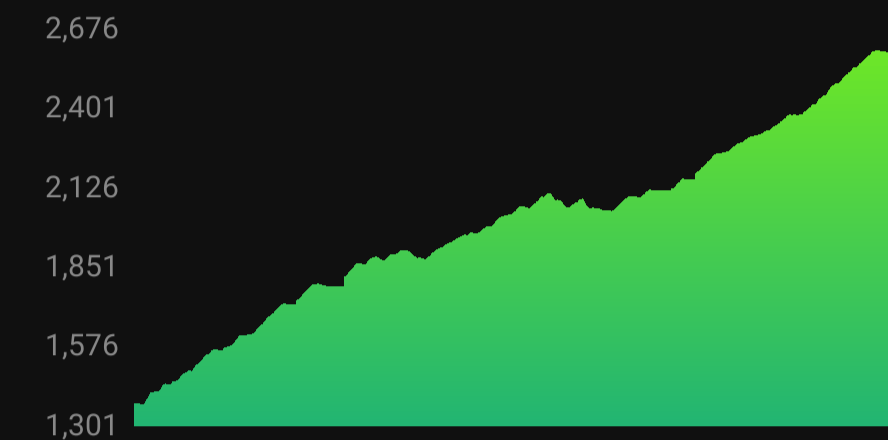
Length: 5.3-7.96 Miles
Elevation gain: 942-1342 Feet
Kid Friendly: Mostly, some steep grades especially on the longer route. For smaller children consider starting from the upper lot if they’re not acclimated to this type of incline (> 20% at times)
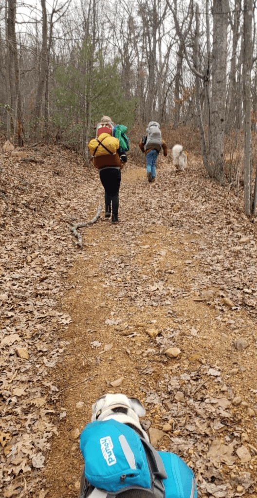
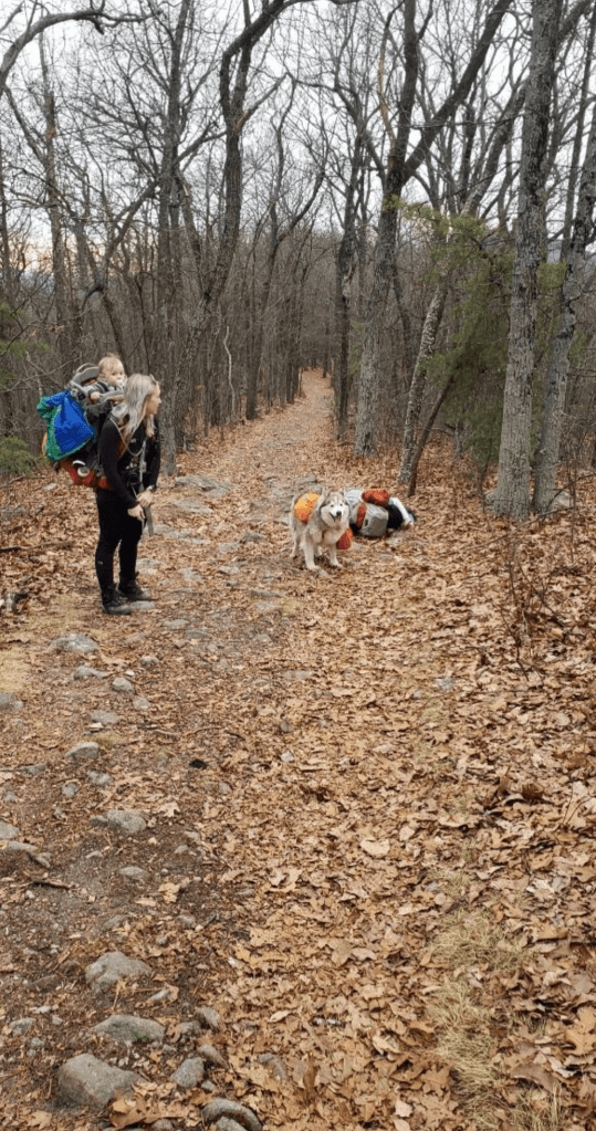
Dog Friendly: Yes!
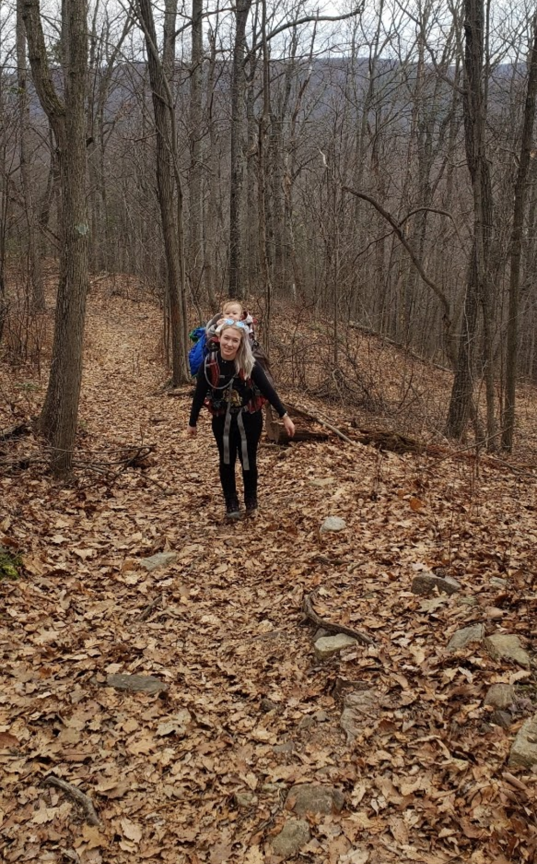
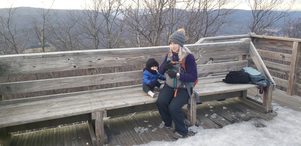
Baby-Wearing Friendly: Yes, no major obstacles
Will my kids whine?: Probably for the first mile on the first route, and the last half mile before the summit.
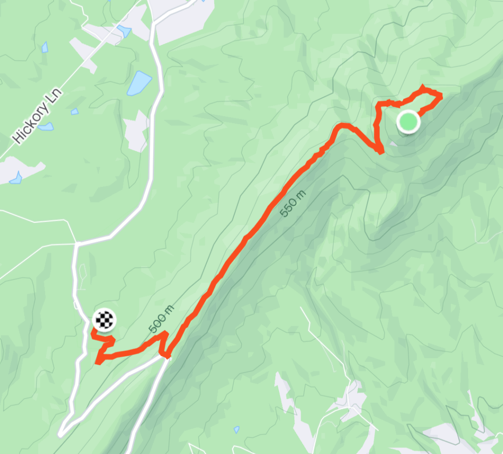
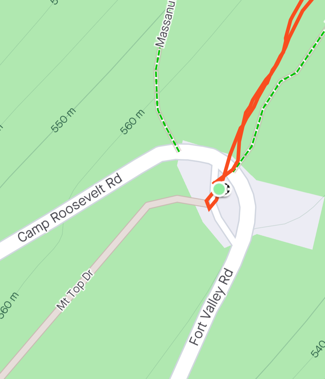
The first time I hiked Kennedy’s Peak I started from the bottom at Stephens Trail Parking before realizing I could park at the top (where route 675 intersects Mt Top Drive). The bottom lot is well marked and clearly a part of the National Forest. The top lot has had issues over the years with occasional signage about NO parking here.
Just always assume you’ll be doing the longer hike just in case. The lot for Stephens Trail (yes, even if you’re hiking up the Massanutten) is large and will accommodate far more vehicles than the upper lot. Two maps below display both lots.
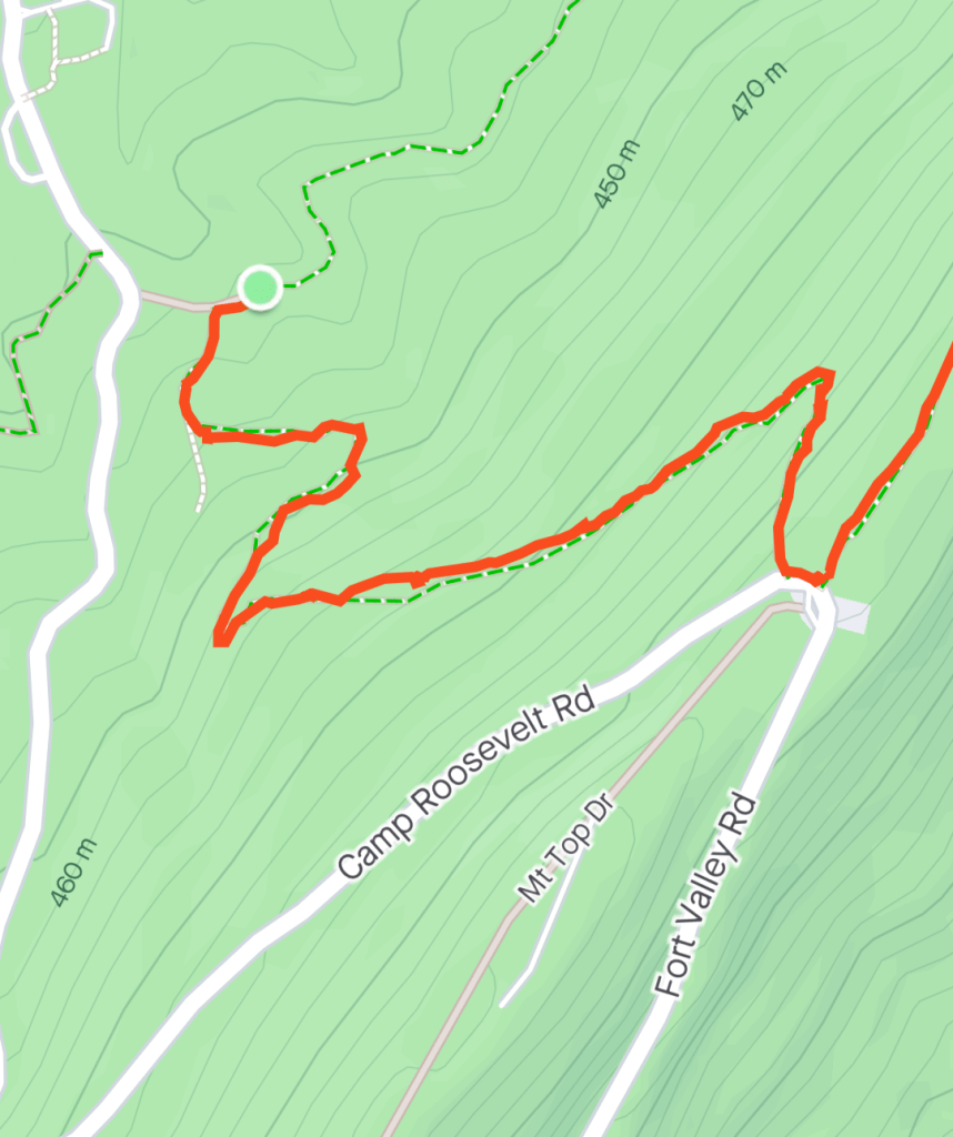
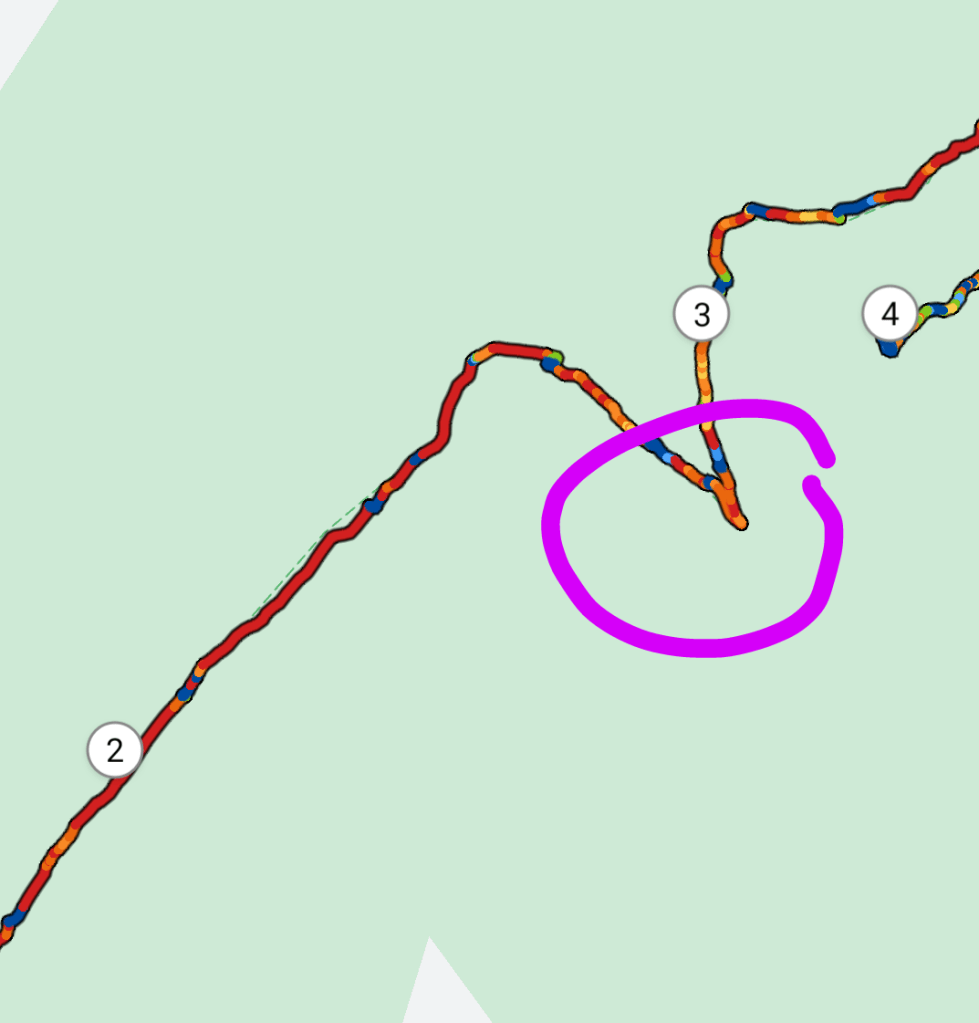
We’ll start with option 1 as that is the longest, and we’ll pick up option 2 along the way. Starting from Stephen’s Trail Parking Area, look for the Massanutten Trail Marker/Sign towards the east end of the lot and head upward.
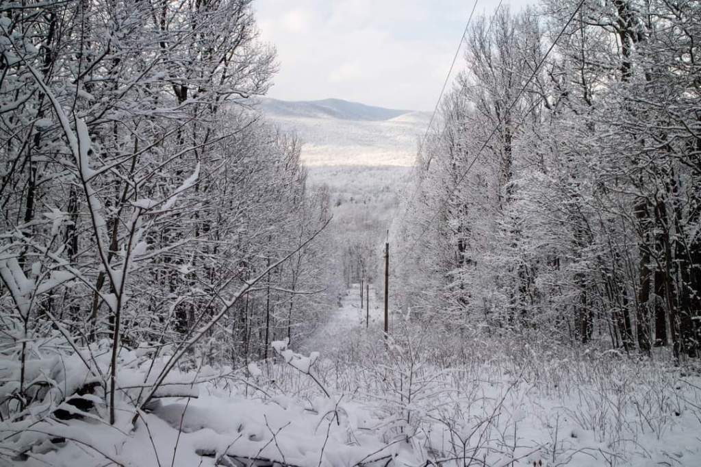
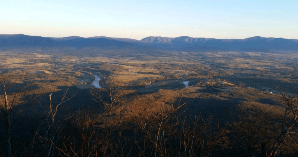
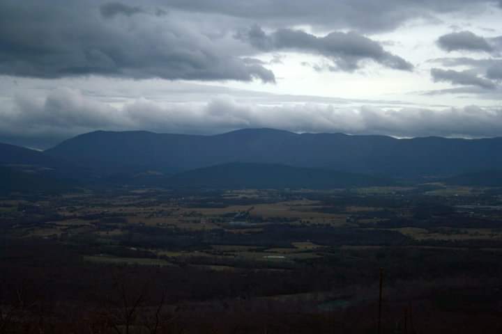
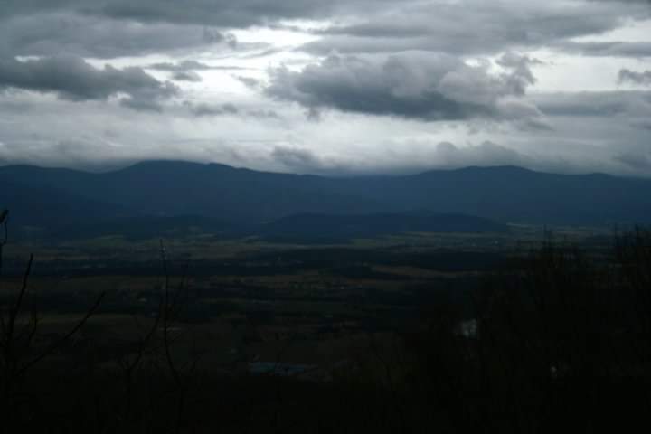
The nice part about taking this part of the trail, and our preteen might argue with me due to the steepness, but the switchbacks give you 3 great ascending opportunities to view the valley below through the power line clearing. There’s an overlook at the upper lot as well, but these are some of the least obstructed views you’ll get until you reach the top.
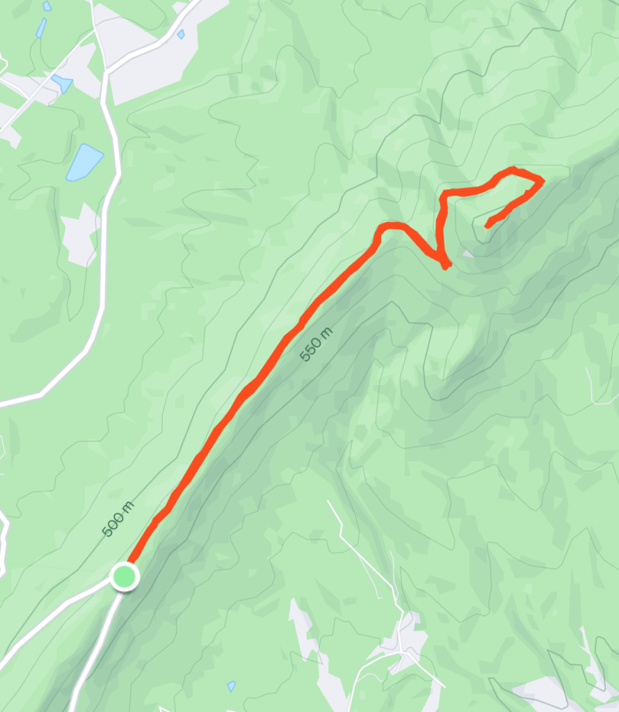
At about the one-mile mark you’ll pick up option 2. This is where some of you will ask why anyone would take option 1, but I truly do feel it’s an enjoyable trail, and it makes you appreciate the lesser grades the rest of the way. Take a look at Page Valley Overlook visible near the switchback in the road, and head back to the trail which takes a sharp left into the forest.
The next mile is a nice combination of gradual then steeper descents and a switchback (gets rocky here) to a sharper ascent. Watch for this switchback about 2.75 miles in. I’ve seen many people, due to the rocky surroundings, step right over the rock barrier that blends in here and continue down the “not-a-trail” trail until they realize something is off and turn around.
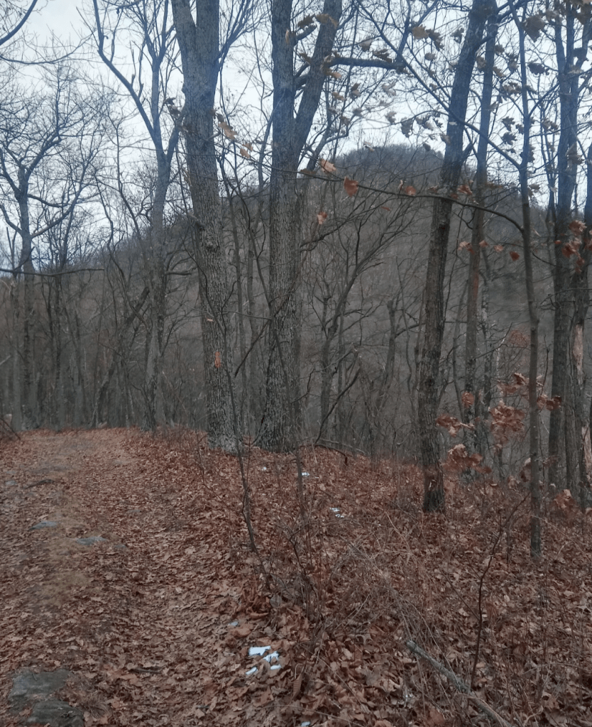
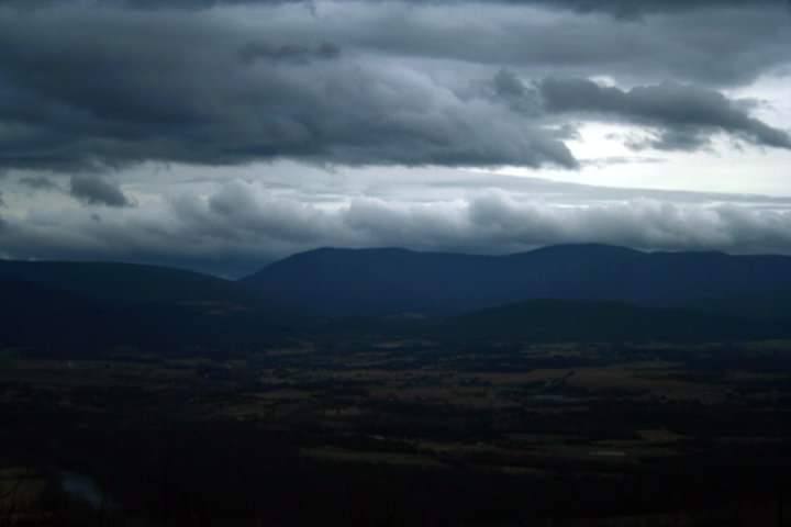
Right before this switchback, there’s a decent campground with multiple sites and a great view of the peak itself before you start to climb again.
Climbing around now to the western face of the mountain, if you’re doing this around sunset, the trees are thin enough to get some nice views. If you make it all the way to the campsite about 3.65 miles from the lower lot (option 1) there’s an even better, less obstructed view. I have never camped here because I’m always on the way to the top – but one day…
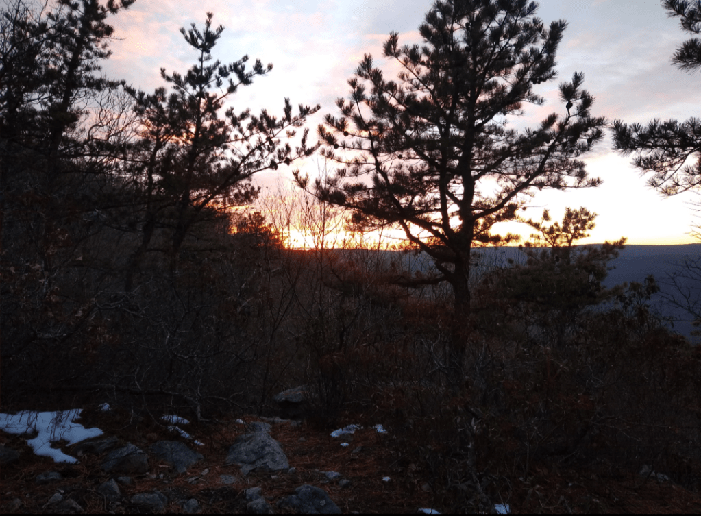
If it’s cold and icy, this is where it always seems to be a little more difficult, so watch your footing (especially if you’re carrying top heavy). There’s a decent amount of water runoff to refreeze between this point and the summit.
In less than 1/4 mile you’ll be at a T intersection. Take a right at the intersection towards the scenic trail to Kennedy’s Peak and the fire tower. This is the steepest grade you’ll experience since the beginning of the hike (15.9% overall), but it’s not quite as steep as the first mile of option 1.
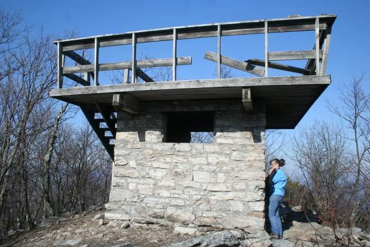
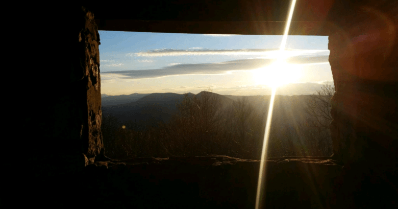
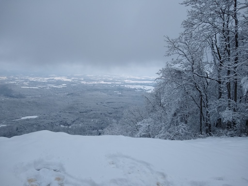
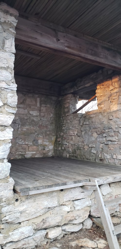
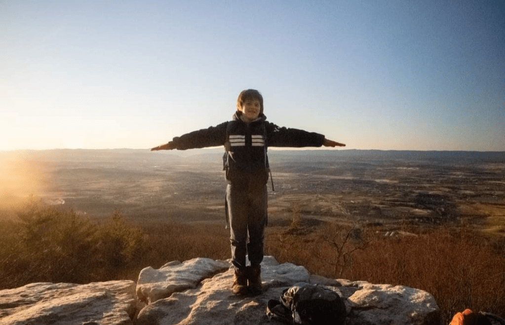
The top is always a joy. The fire tower was built in the early 1900s and the deck has been recently redone in 2014. Looking to the south you’ll see opposing mountains sweeping into the sky as you look towards another set of peaks: Strickler Knob and Duncan Knob.
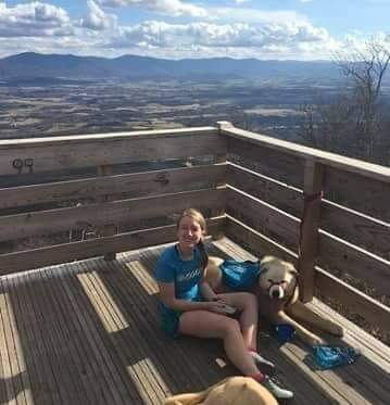
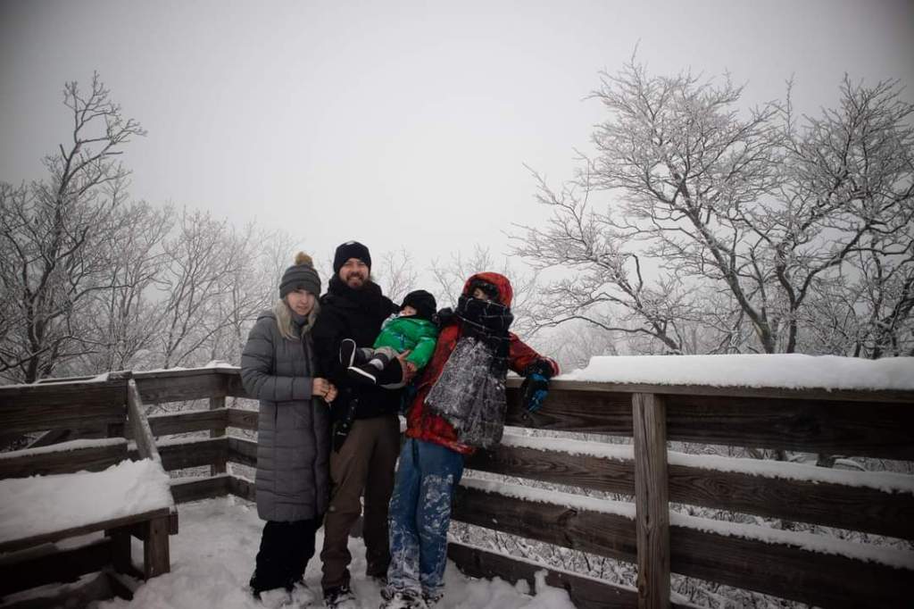
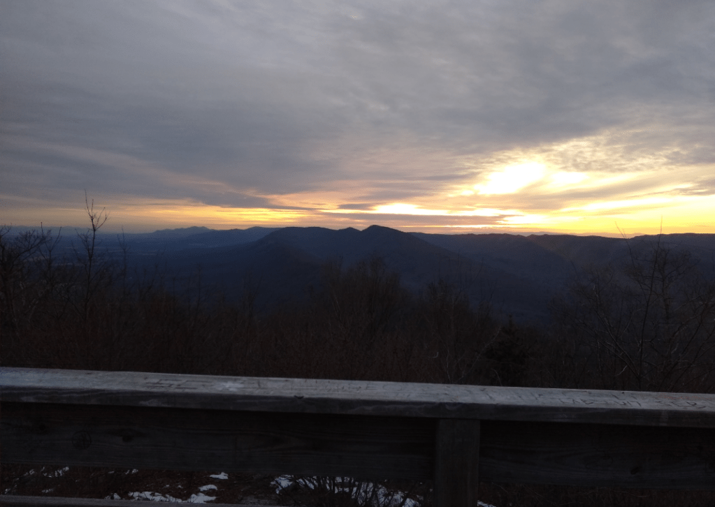
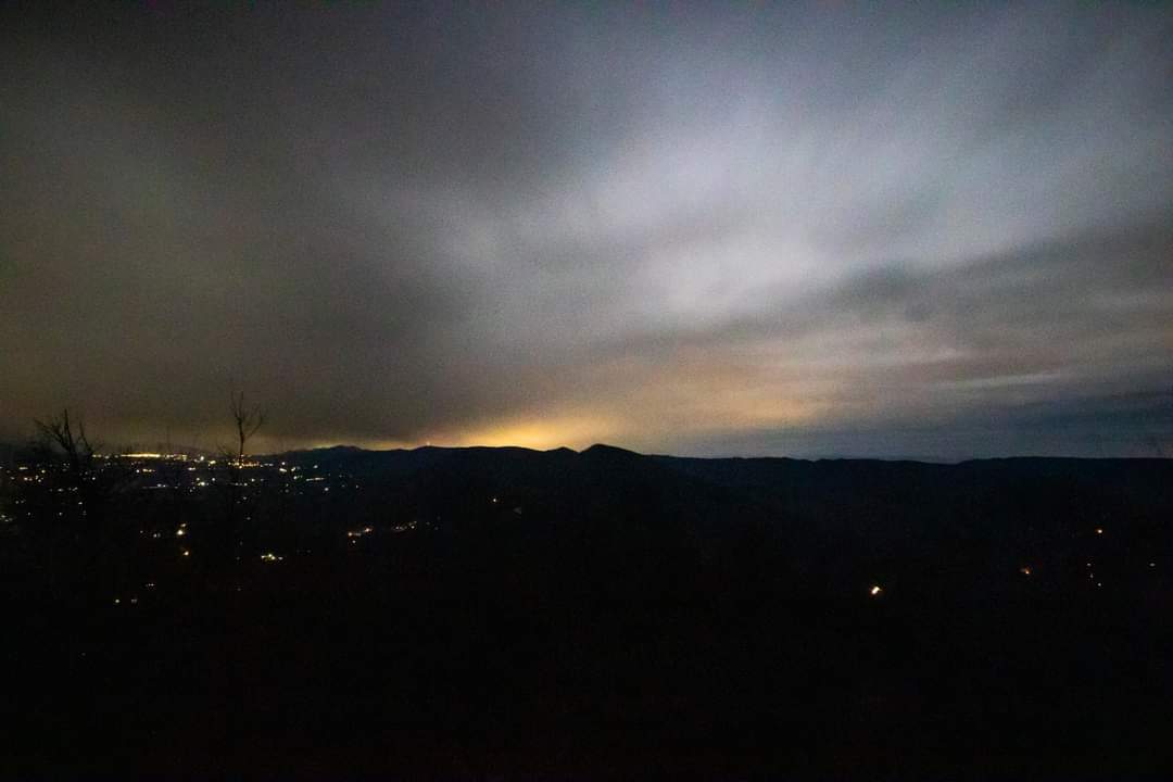
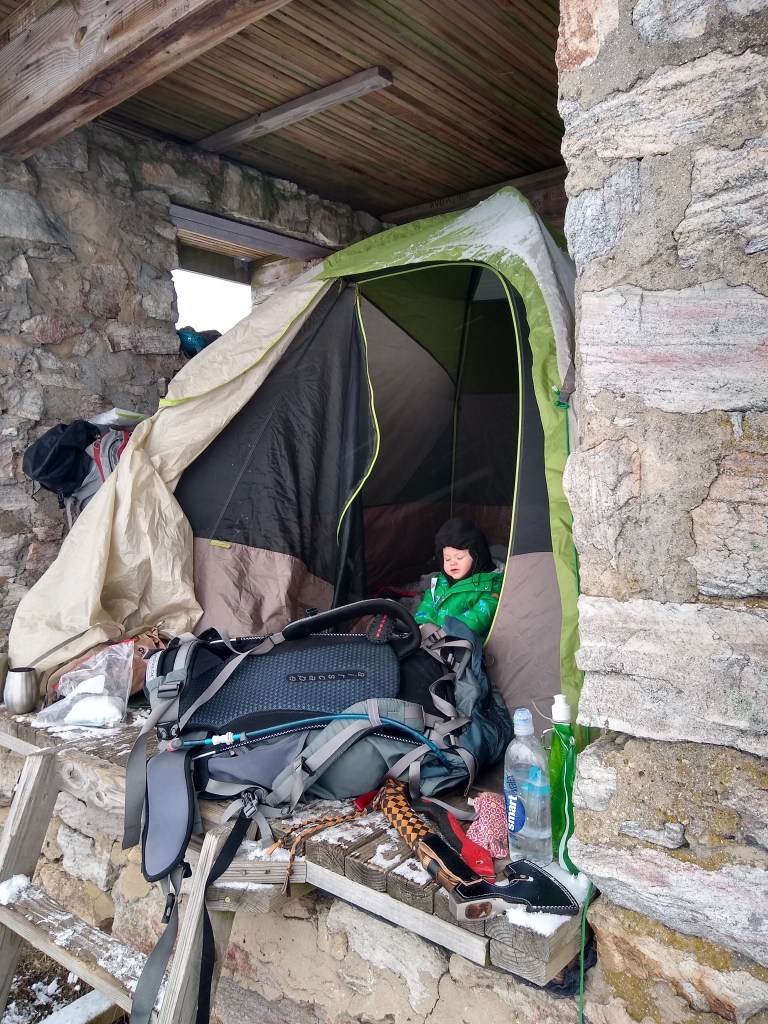
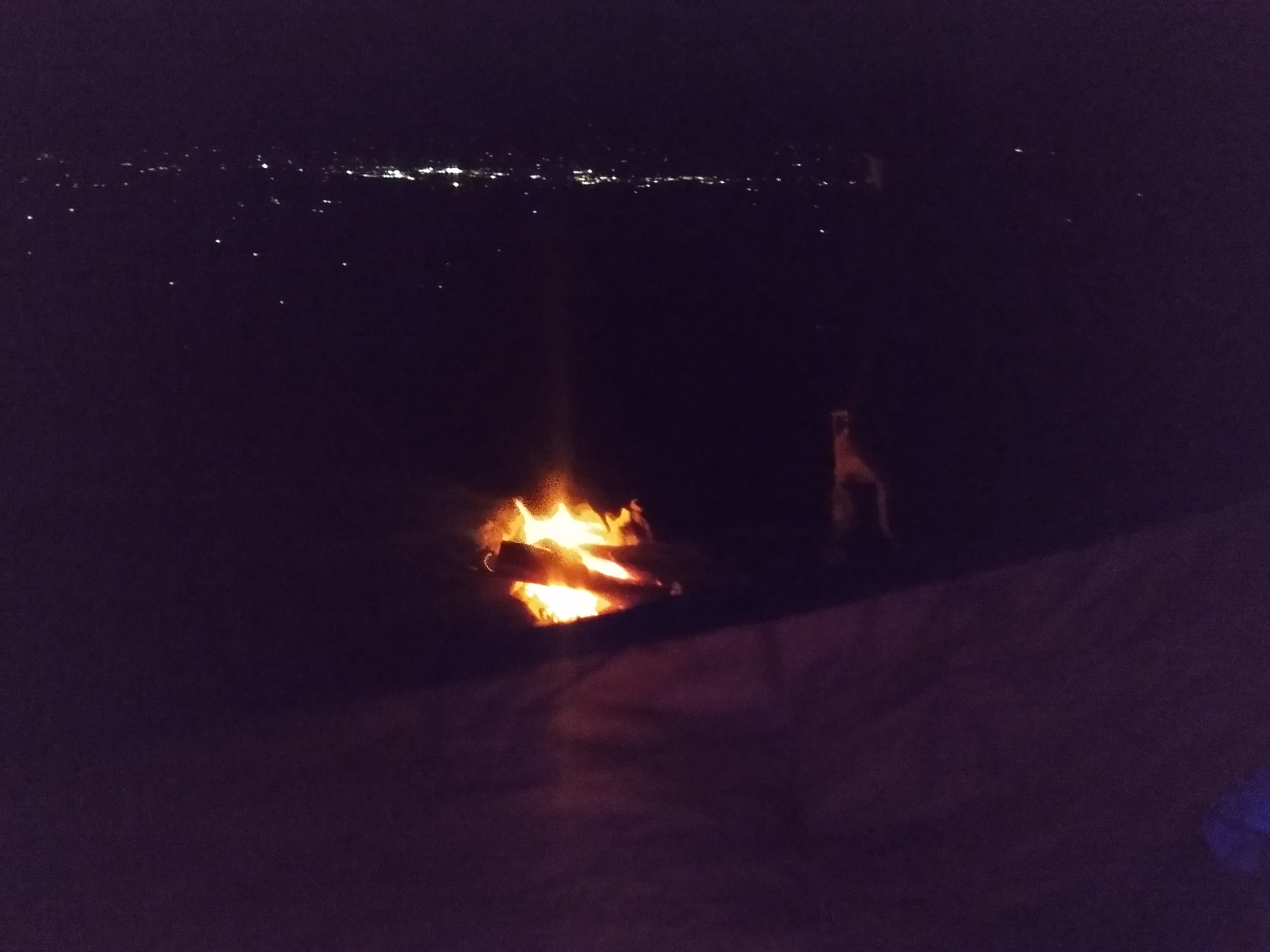
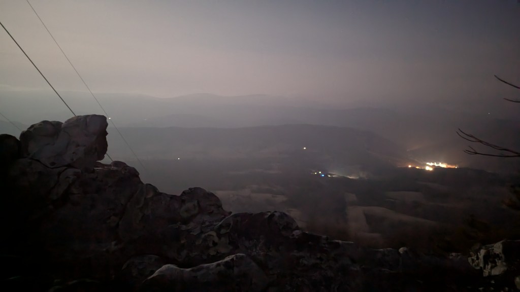
Sunsets from here are astounding. And I’ve camped more than once in the fire tower below the platform. At night you can see the lights from Luray against the dark sky and against Skyline Drive on the opposite side of the valley.

This being an out and back hike- retrace your steps back to the lot if you aren’t camping.
Recent Trips to this trail:

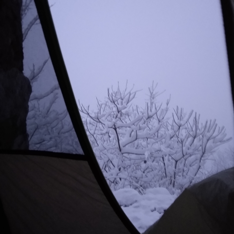
Camping Kennedy Peak
Last weekend, on an unseasonably warm February day, we hiked up Kennedy Peak. We started in weather warm enough for single-layer clothing, and woke up the next day to snow covered mountains. We traveled up from the lower parking lot off of Rte 675 (also used for access to Stephen’s Trail). We were under the…

Leave a comment